
AIRPORTS
Know the field.
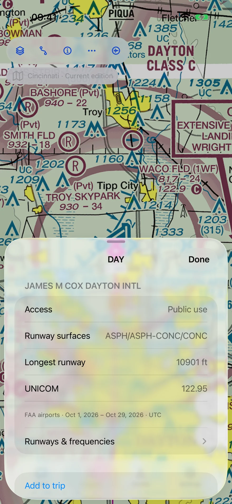
Find airfields by name or identifier. View runway information and frequencies, then connect with pilots who know the place.
Read the airport guideExplore aviation charts, route planning, flight tools and a community of local pilots.
Find airfields by name or identifier. View runway information and frequencies, then connect with pilots who know the place.
Read the airport guide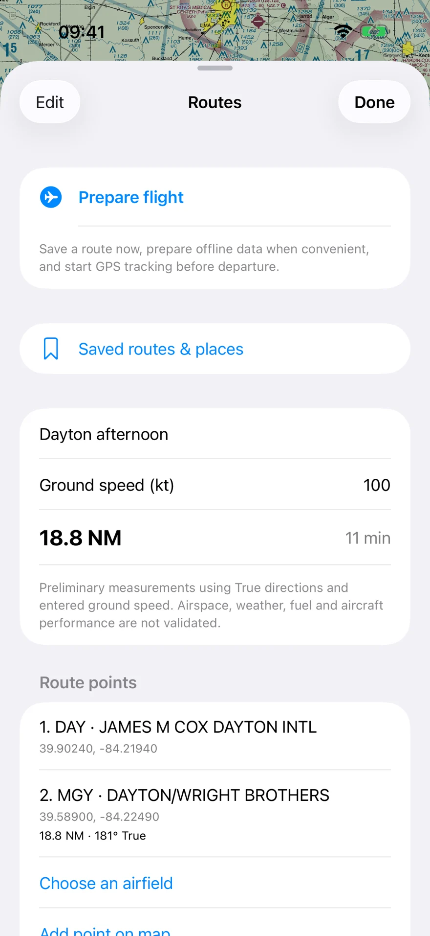
Save departure, destination and intermediate stops. Review route distance and estimated time, then prepare available data for offline use.
Read the preparation guide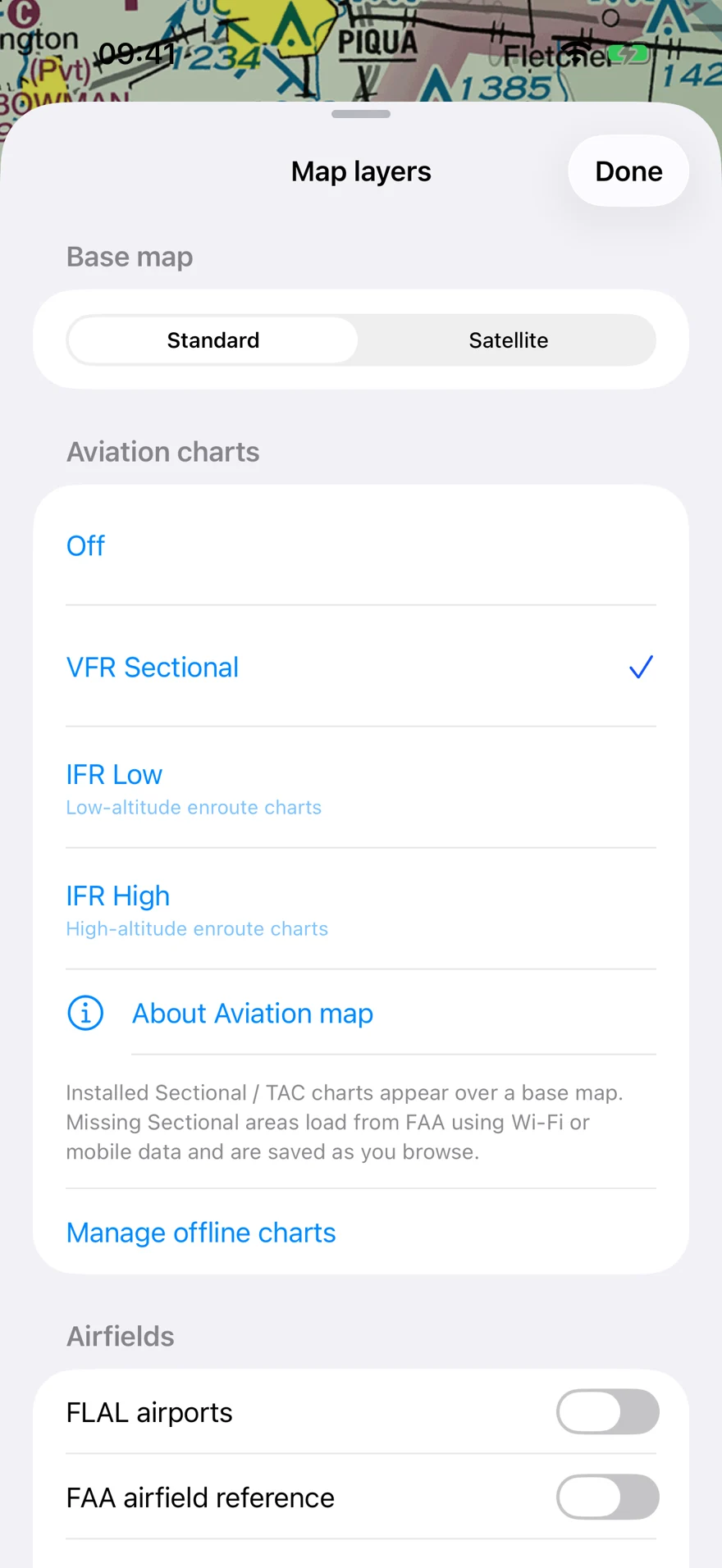
Select U.S. VFR Sectional, IFR Low or IFR High charts. Open available airport diagrams and approach documents. Check coverage and chart dates before flight.
Read the chart guide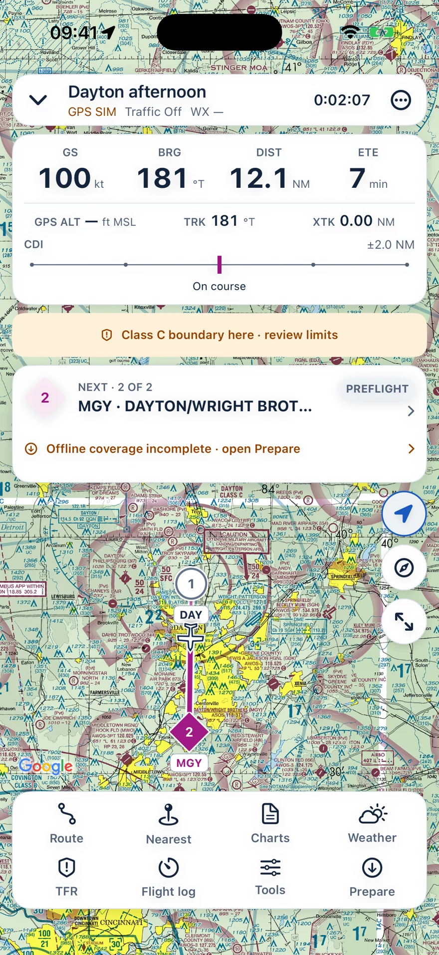
Position, ground speed, track, distance and estimated time in a focused workspace. Active foreground tracking keeps the screen awake. Suitable GPS is required.
Read the flight tracking guide Simulated flight shown. External receiver support depends on the exact model and configuration.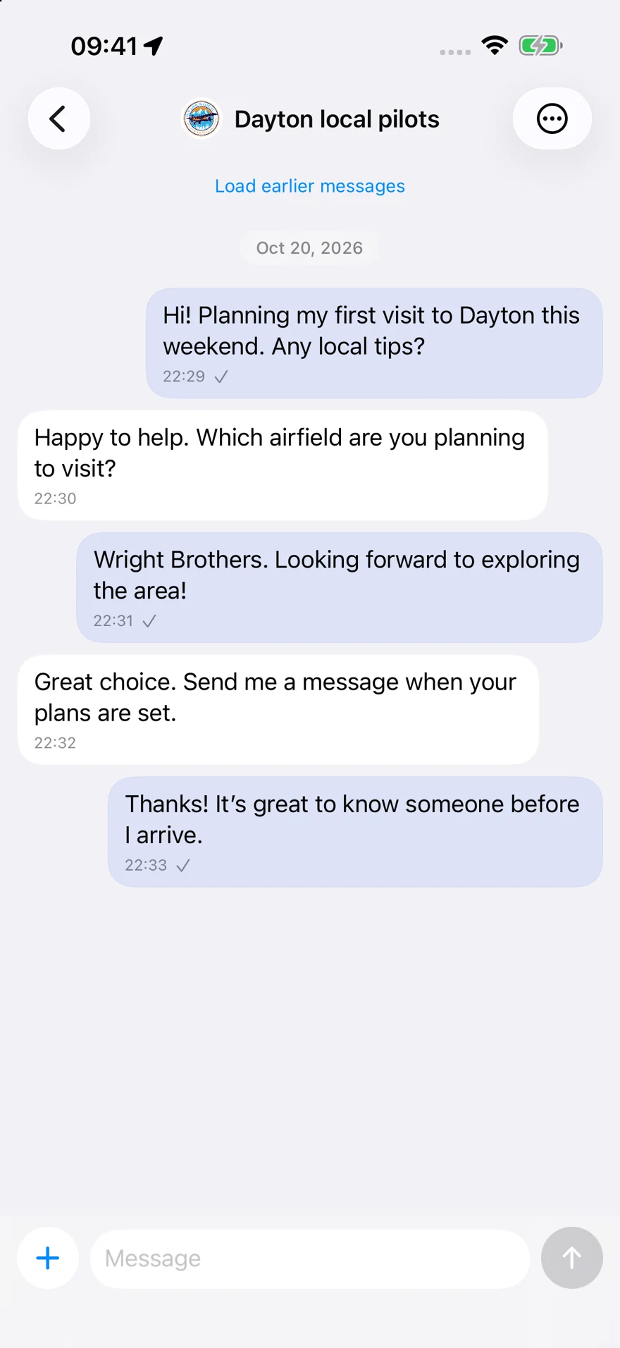
Direct messages and airport conversations help you get to know the people behind the local knowledge. Messaging remains available without Pro.
Read the community guideMessaging with local pilots is available without Pro. Pro includes premium airport weather features, with available METAR observations and TAF forecasts.
Review current plans and prices in the app before subscribing.
View on the App Store